Spatial information store/visualize
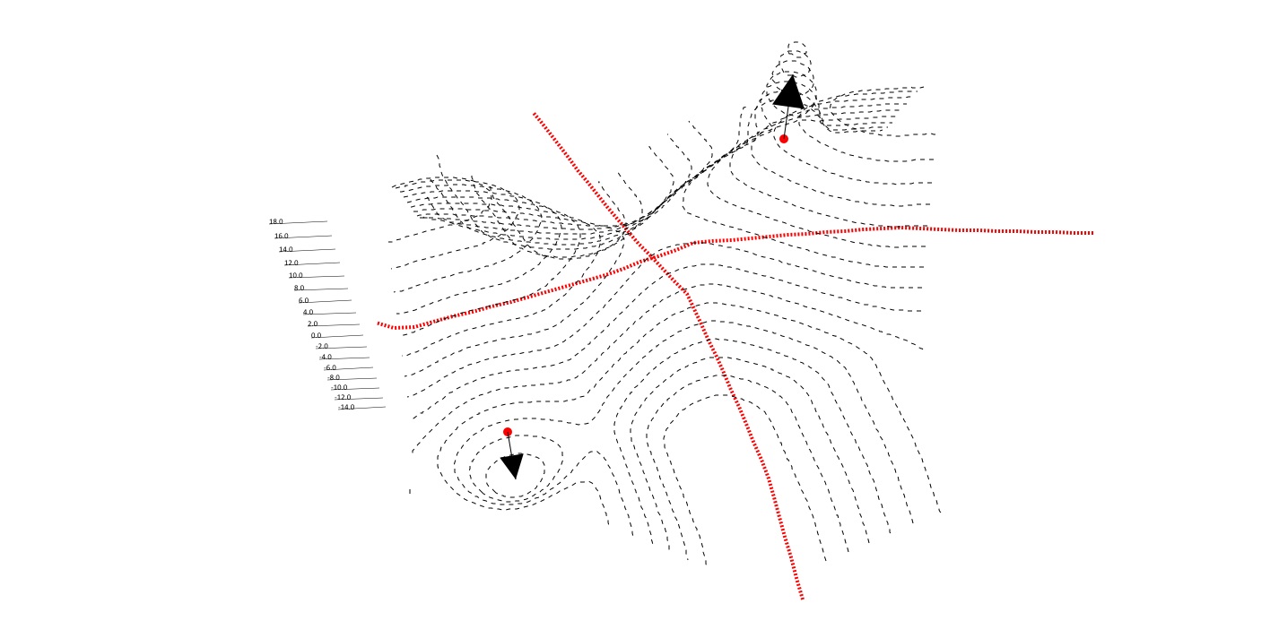
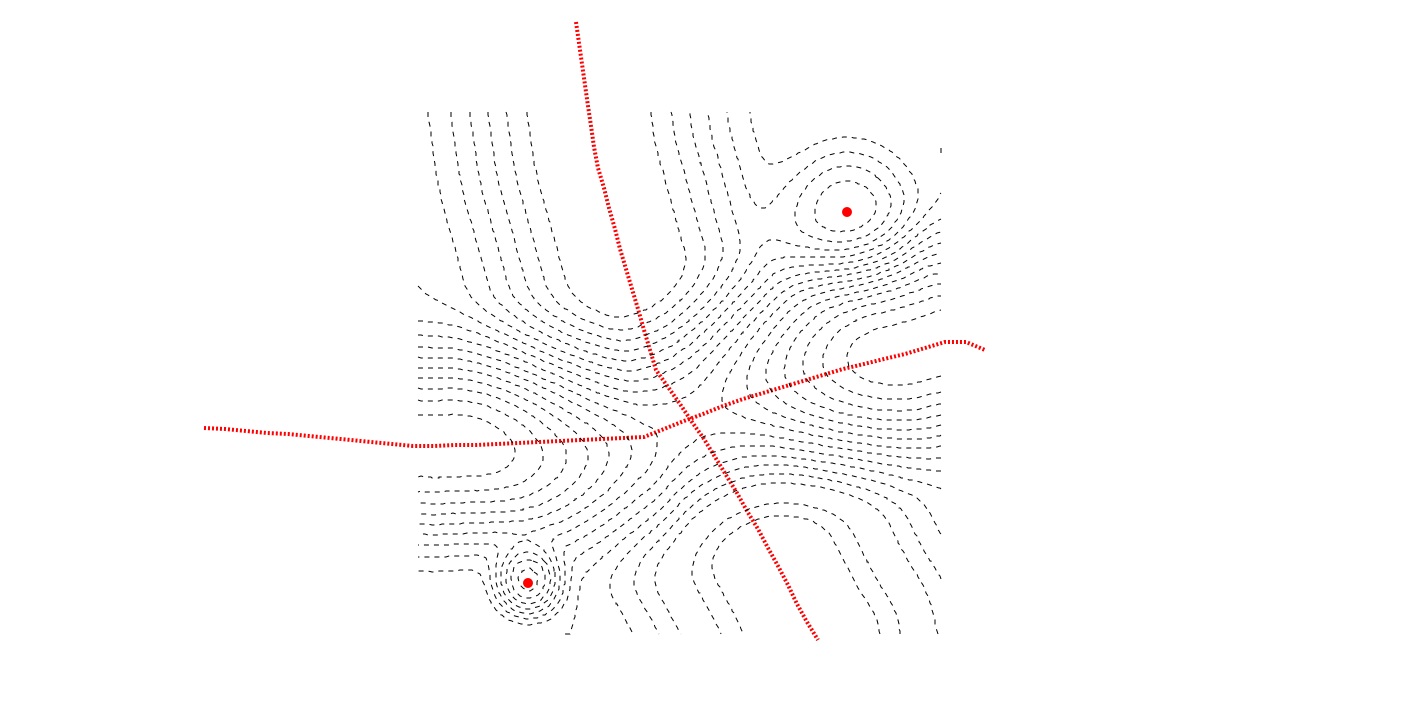
to store and visualize spatial information of multiple attractors and detractors with different displacement and fall off distance on a nurbssurface. Diagram/visualise as contours through project curve (here I extracted the curves to my custom MGL drawing) or colored by height using maya ramp shader (shown above as a faint backdrop). Query as height value at any given point in plan through rayIntersect, or if projected curves exists, could be used to query the region between 2 height value. The heightfield can also be converted into vectorfield for additional spatial information.